Saturday, April 30, 2016

Odds and Ends from Florida

It felt like Spring when we left Connecticut in April, then it became Summer as we headed south to the Keys. Then it was back to Spring as we turned north, then Summer again, then back to Spring, then it got cold, then hot, and now it's mostly Spring again.

In Florida, there are snapping shrimp in the water at the docks. They make snapping sounds with their claws under the boat when we go to bed, like a crackling campfire or raindrops on the roof. It took a while to find out what that unfamiliar noise was. 

Another unfamiliar noise turned out to be a boat's wind turbine spinning in the night. The vibrations traveled from the turbine, through the boat and its fenders, onto the dock, and over to our fenders and our boat. We only noticed it as we headed below to bed each night, but luckily it always stopped after a while. 

Can you see the woman's face in this picture? 
She looks like an actress from a 1930s movie. 
Most modern bridges are 65’ tall, high enough for even most sailboats to go under. Others are in the 22’ range, which is fine for us at 17’7”. But some are very low, like the 7’ bridge at NASA or the railroad bridges. These are either always open or they open on demand.
Going under a 65' bridge
Foamy, translucent water in the Gulf of Mexico
Pelicans were everywhere in Florida. When they dive, they SMACK their skulls into the water, filling their pouches with food. There's nothing graceful about it and it's almost painful to watch.
This is what it's all about. 


Savannah and Beaufort

We’re stopping two nights here at Lady’s Island Marina across from Beaufort, partly to see more of the area and partly because we just need to stop and sit still sometimes. We’ve been moving at a good pace (55 - 65 miles every day) because we want to be at the Virginia line before Brian has to fly to Europe in two weeks for work. That would set us up well for the rest of the trip.

Both Savannah and Beaufort are charming places. Savannah is about 20 miles inland from the Atlantic and is on the south shore of the Savannah River. The historic district and oldest houses are just south of the river, with a neighborhood park or square about every four blocks. As people moved farther south, they continued to include parks in the overall plan. The city was saved during the Civil War because they surrendered to General Sherman before he could destroy it.

At Isle of Hope Marina, we borrowed the loaner-car and drove in to see the city. While there we found the house of John and Sandy Underwood, Brian’s colleagues from St. Mary’s College. He boldly knocked on their door, and the look of surprise on Sandy’s face was worth the trip! We had a wonderful visit. Sandy has written a book about “The Bird Girl”, a sculpture that is on the cover of the popular book about Savannah, “Midnight in the Garden of Good and Evil” by John Berendt.


Beaufort is smaller than Savannah and was also spared during the Civil War, so the antebellum houses still stand. Last summer we had met a couple who winters in Beaufort and summers in Washington Island, Wisconsin, so we contacted them as we headed up the ICW. In Wisconsin they grow lavender and sell their products at the Island Dairy. We have a bottle of their lavender balsamic vinegar that is fabulous on grilled shrimp with avocados, tomatoes and grapefruit slices. In Beaufort, they live in a beautiful home in the historic district and have immersed themselves in the life of the town. They gave us a walking tour like only a local can give.

Today it’s back to doing laundry, getting the groceries, borrowing the loaner-car to explore a little, and tying up some loose ends. 

Tomorrow it’s MAY!

Friday, April 29, 2016

Photos of the top of Florida and Georgia


At our anchorage on Bell's River -
the best way to start the day 
with DOLPHINS!
Derelict and abandoned boats are a problem in Florida.
This sailboat has no boom or sails.
This one has no mast, but a man lives aboard.
This one has no sails
This is how they are supposed to look!
The paper factory at Fernandino Beach. When the wind shifts,
it can really smell awful at Bell's River near the Amelia River. 
Twins
6:25 a.m. Wally's Leg, Georgia
6:29 a.m. Wally's Leg anchorage 
Taking advantage of being at an anchorage
This is where the marshes begin.
That's a boat behind the grass in another stream.
Marshes
Lives oaks with Spanish Moss, Isle of Hope
Brian under the trees
"Let me outta here!"
See the sailboats behind the marsh grass.
They are at the marina


The Most Important Thing

Decals

From moment to moment, various objects rise to the top of the list as “the most important thing” Sometimes it’s the anchor to keep us safe and in place all night in the howling wind; sometimes it’s the Benadryl cream to stop the itch from the bug-bites. Today it was the decals that tell the world our two boats are legally registered in the State of Connecticut. My timing was bad on this, plus the Coast Guard and the Connecticut DMV came up with new fees this year, making it take a little longer to send out the decals.

The dinghy’s decal arrived right before we left, but Pearl’s did not. Sometime after we had left, the mail was delivered to our box and our neighbor reminded the mailman that it was supposed to be forwarded to Lauren in Maryland. In the second week, Lauren received the DMV’s letter, and in the third week, she overnighted it to Grandad’s house in Ponte Vedra Beach, Florida. At the beginning of the fourth week, we visited them and got our mail, and today, at the end of the first month of the trip, we stuck the decals onto both boats. First thing this morning. 


Mission accomplished. 

Thursday, April 28, 2016

Georgia

We are shortchanging Georgia a bit, stopping in only two places. We stayed at a gorgeous anchorage last night. It was called Wally’s Leg near St. Simon’s Island. In the morning there were birds singing and dolphins frolicking in the water. I think they were looking at us while we were looking at them!

Today’s trip was beautiful too. We traveled on a big river through acres and acres of marshes that look like fields of wheat. Sometimes we could see other boats that seemed to be traveling in the fields, but they were really on other rivers.

Now we’ve arrived at Isle of Hope, Georgia, just outside Savannah. Savannah is not on the ICW, but the marina has a loaner-car, so we plan to take a drive this evening to see the city.


I made beef curry with potatoes in the crock-pot today. Each morning I see what’s in the freezer and what vegetables we still have, then I figure out what to make. Today I used stew-beef, the potato, the carrots, and a jar of curry sauce, and let it simmer for several hours. A while ago I threw in the left-over broccoli from last night and it was very good.

Wednesday, April 27, 2016

Amelia River Anchorage at the Top of Florida

We can practically SEE Georgia from here! Today it’s only a short ride to St. Simon’s Island, so we’re taking it easy this morning and doing a little “housework” on the boat. 

In Connecticut, the marshes are a narrow strip that separate the solid ground from the river. Here in northern Florida, the marshes are everywhere. This is like no place I have ever seen. We are anchored in Bell’s River off the Amelia River in the marshes. It’s flat. It’s calm. It’s quiet. The distant green grasses are only a few feet high; flat water, flat marshes, big sky. From time to time, the dolphins jump out of the water as though they want to look at us.


Yesterday was a long day, stopping to refuel and covering a lot of miles before we stopped. We saw more of the monster-sized mansions along the ICW, with elegant landscaping, covered docks, and boats raised out of the water. Around noon we passed directly west of Ponte Vedra Beach and the restaurant where we had had dinner Monday night. At that same moment we were having a cold lunch of my leftover shrimp and grits with an excellent apple salad. The ICW channel was particularly shallow from time to time at 5’ and sometimes very deep at 45’, so Brian had to watch the charts closely. Late in the day, Brian encountered a towboat with barges, but I was taking a glorious nap then and and missed it. 

The evening was wonderful - exactly what we love – a gorgeous sunset, a great dinner, a beautiful anchorage. The night was a bit freaky though. We are anchored near a paper factory, and after dark the wind shifted and blew the awful smell exactly in our direction. Brian closed all the windows and turned on the generator and the air conditioners. But we’ve never slept with our generator on, and I didn’t sleep at all last night because I was so anxious about it. At some point in the middle of the night the wind shifted, Brian turned everything off, and I fell asleep. Now it sounds silly.


Birdsong at Wally's Leg

When I wake in the morning, at daybreak but before the sun rises, the birds sing their songs. Layers and layers and layers of birdsong. Some is beautiful, some is raucous, some is regular, some is sporadic, some is high pitched, some is lower. 

In this marshy anchorage called Wally’s Leg, near St. Simon’s Island, I can identify at least a dozen layers of song. There may be more, and some of those might be crickets or cicadas - that’s how much I know about these things.


Our Doyle’s guidebook to the ICW says that a marsh has grasses, a swamp has trees. These are your vocabulary words for the day.

Tuesday, April 26, 2016

Photos of St. Augustine, Ponte Vedra Beach, Amelia River

Some rivers have sandy edges
St. Augustine on Sunday afternoon
Henry Flagler, who built the railroad to Key West,
also built this. It was a hotel, now it's Flagler College.
Flagler College
The fountain
Fort Matanzas at St. Augustine
Free admission because of the National Parks' 100th Anniversary!
Turret at Fort Matanzas 
Here we are at US Route 1 again.
Marina at St. Augustine; Pearl is in this picture. 
White egret at home on our dock
The Clarkes - Brian, Ellen, Keith, Dave
celebrating our 35th anniversary
Bridge opening at St. Augustine
The St. Augustine bridge
An amazing bridge
Adios St. Augustine
This is the town as seen from the river
and this is the fort as seen from the river
The sand gets very shallow very quickly.
See the truck on the beach?
"What am I doing here?"
My evening view
Sunset over our anchorage at Amelia River, last night in Florida 

Sunday, April 24, 2016

Sunday Morning, Daytona Beach, Heading North

9:00 and I’m not at church. It feels like playing hooky, and I love it! We got going around 8:30 this morning, putting the dinghy back on top of the boat and casting off around 9:00. We have to travel through an 
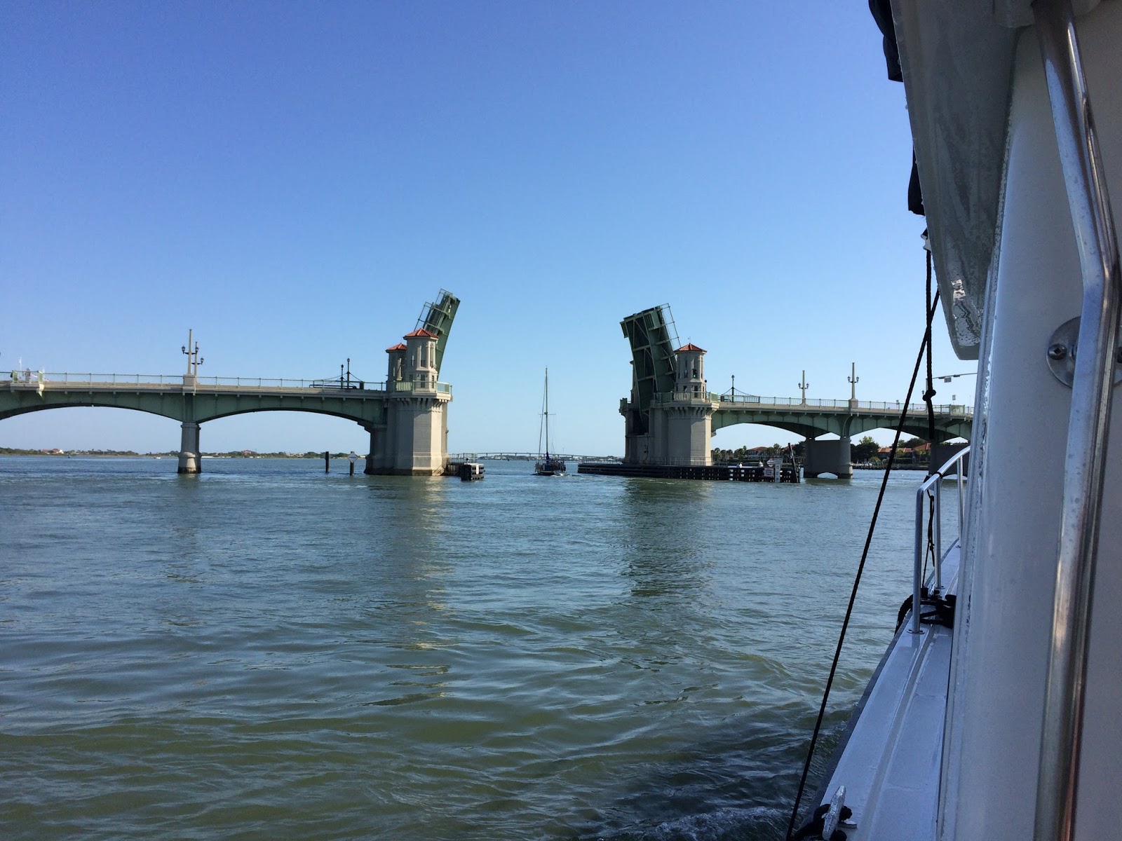
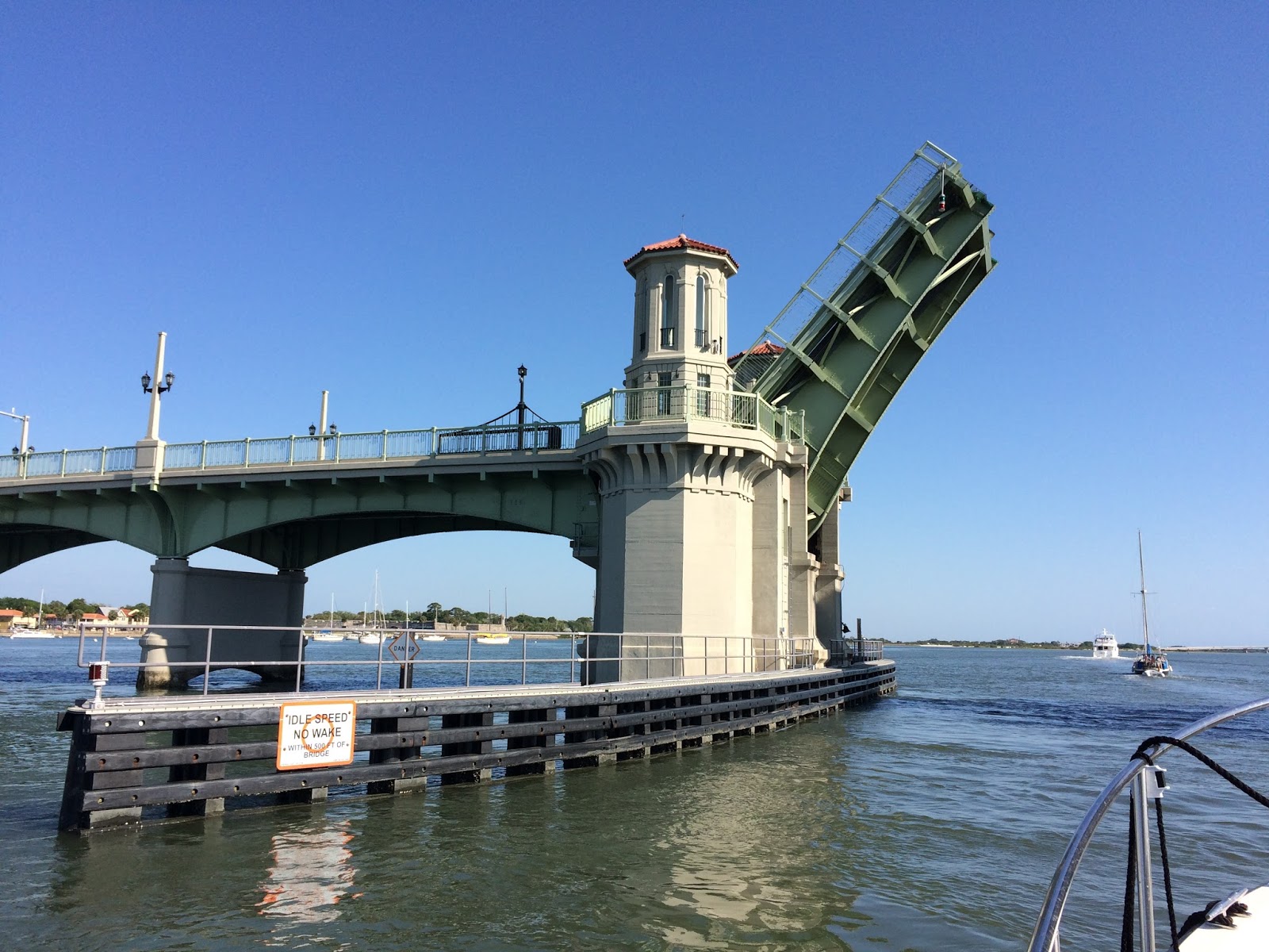
especially low area during its high tide, and that’s around 1:00. We’re heading 
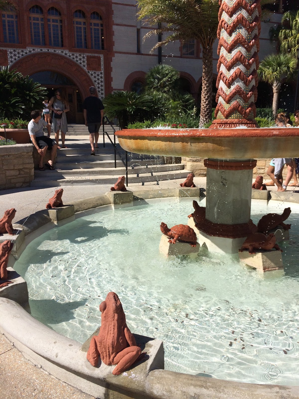
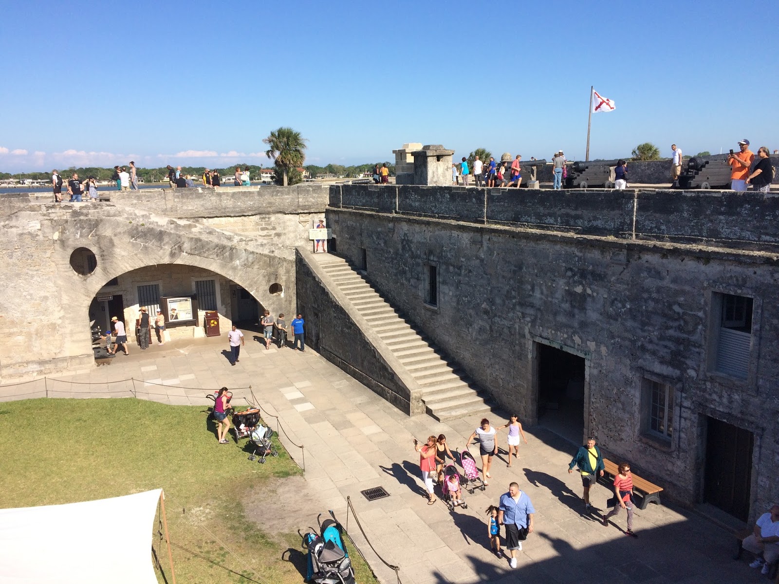
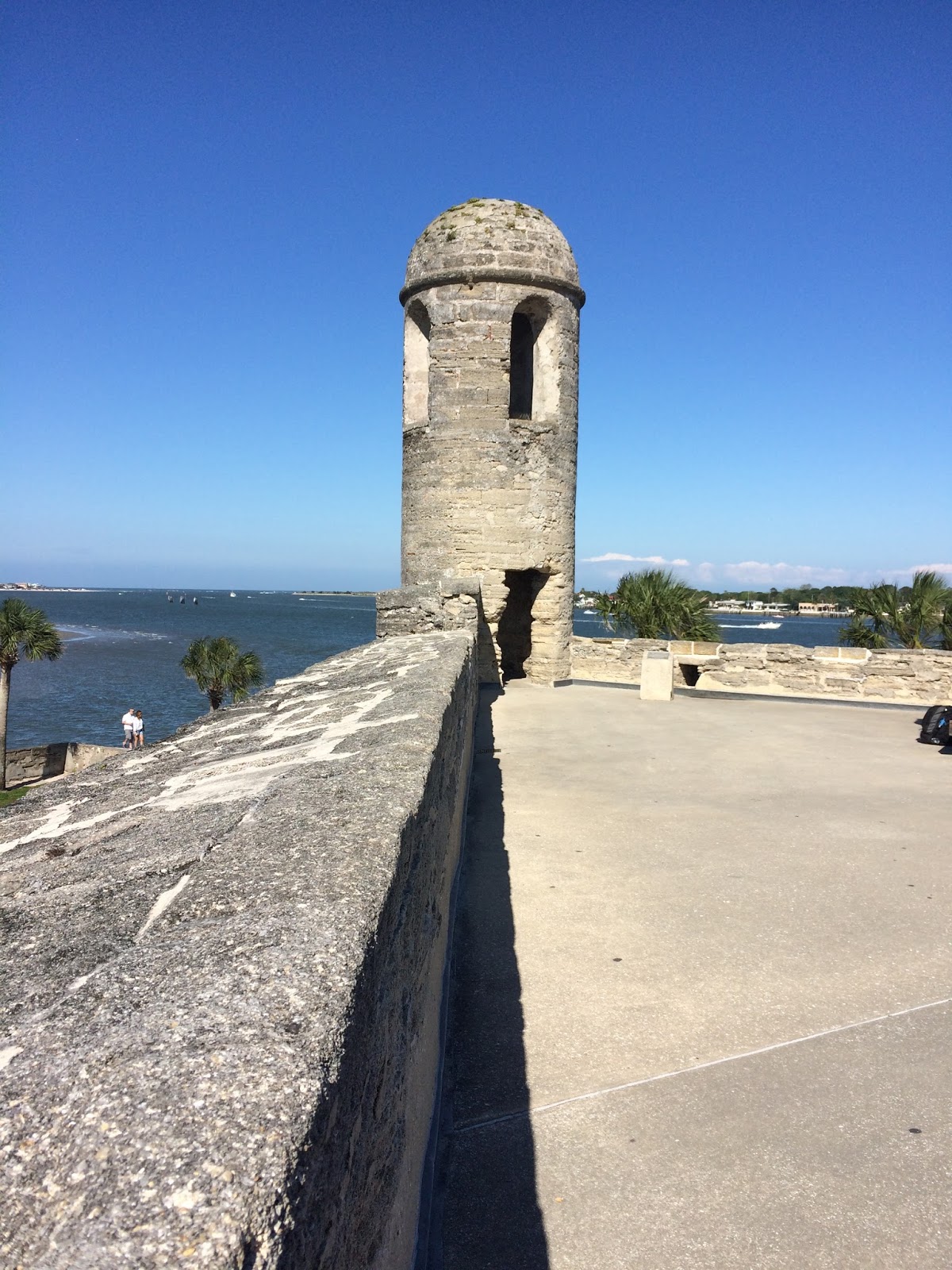
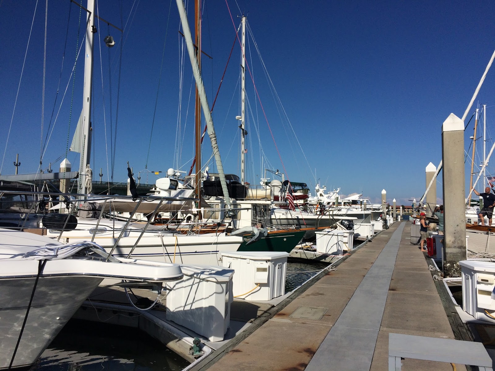
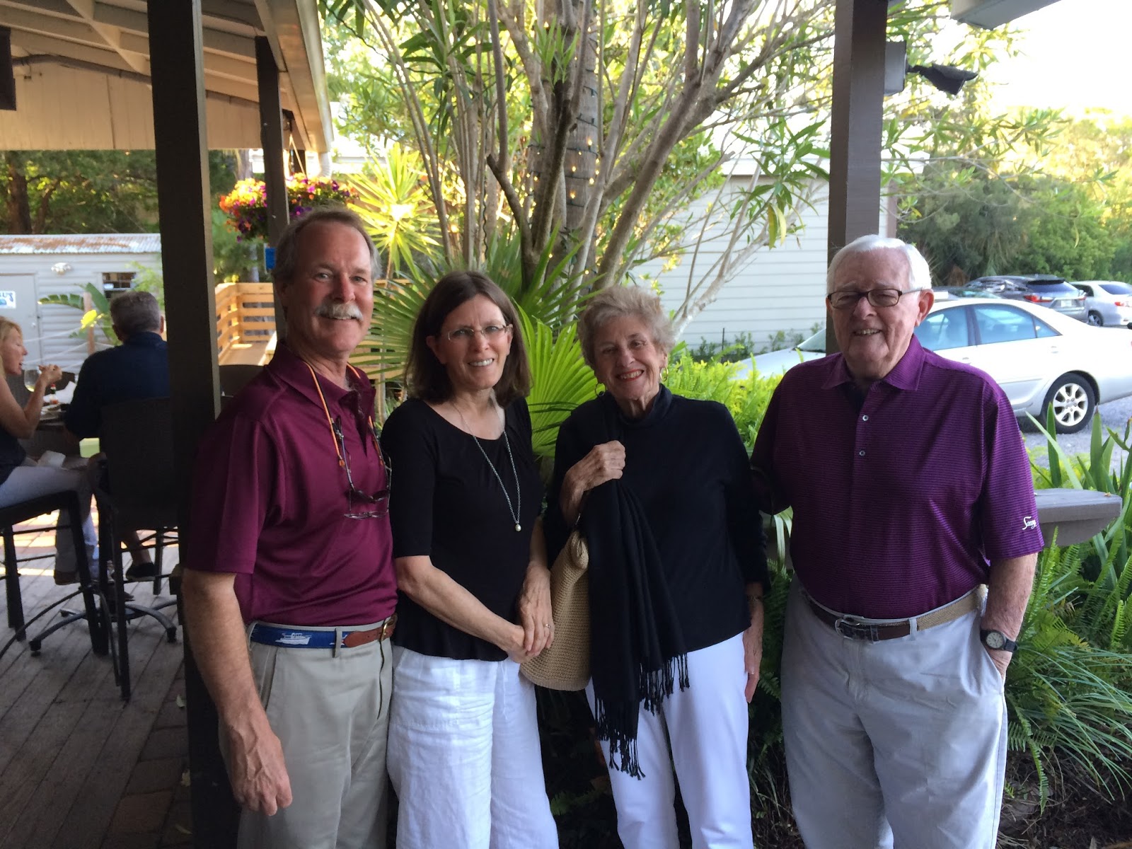
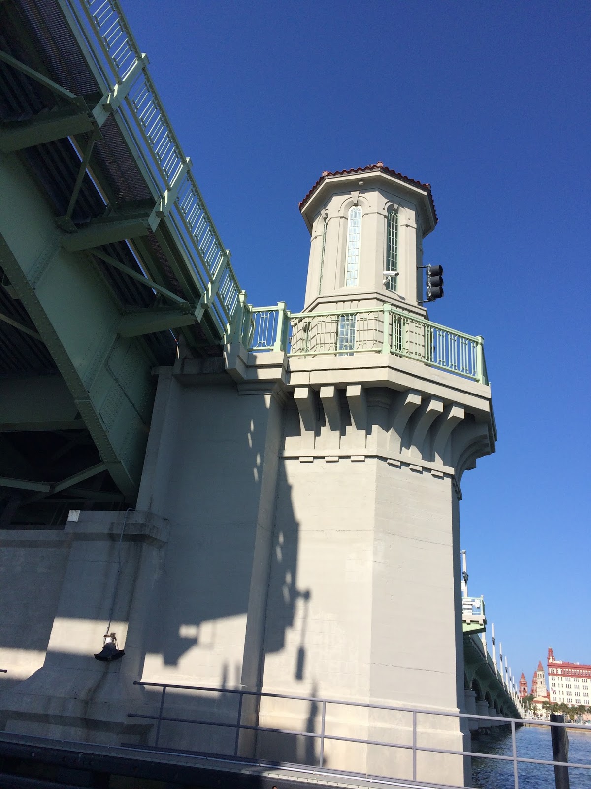
to St. Augustine for a few nights in a marina, planning to visit with Grandad and Keith, do some shopping, and see the area.

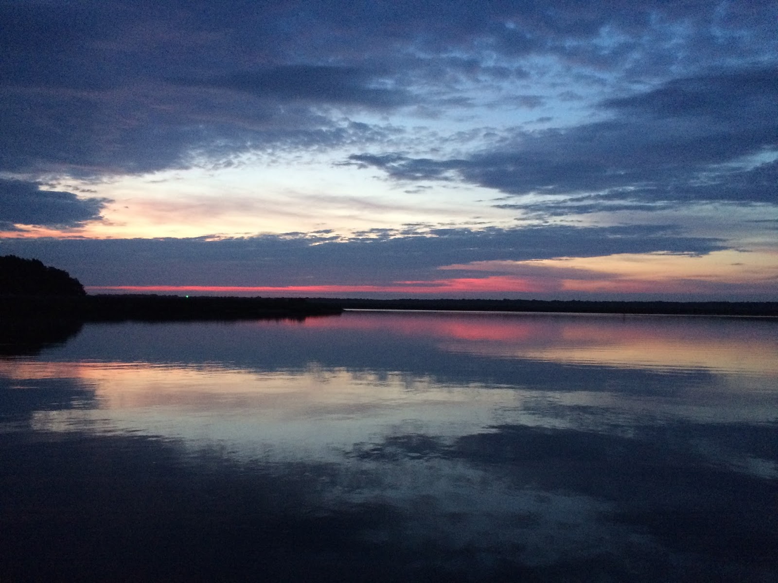
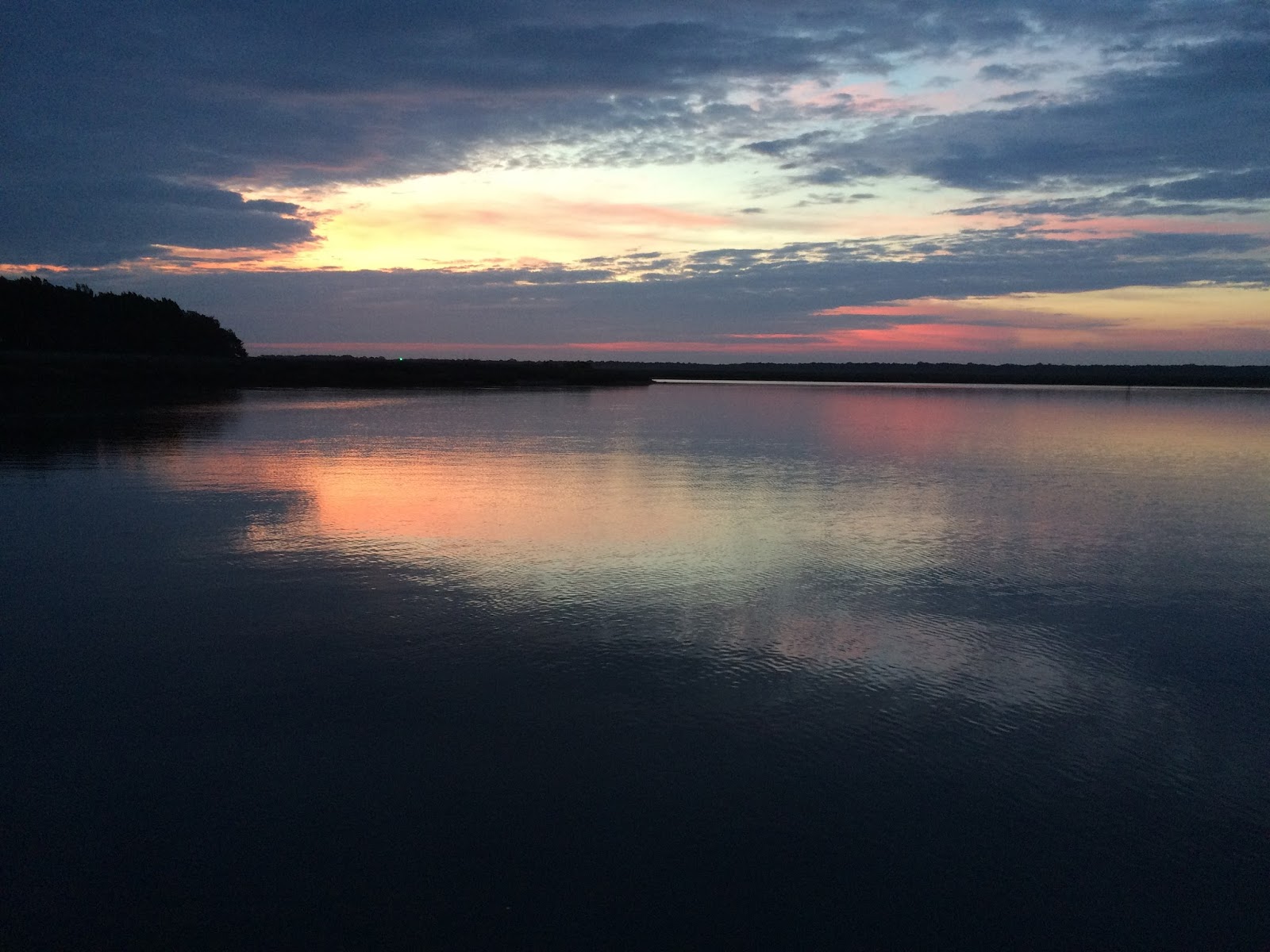
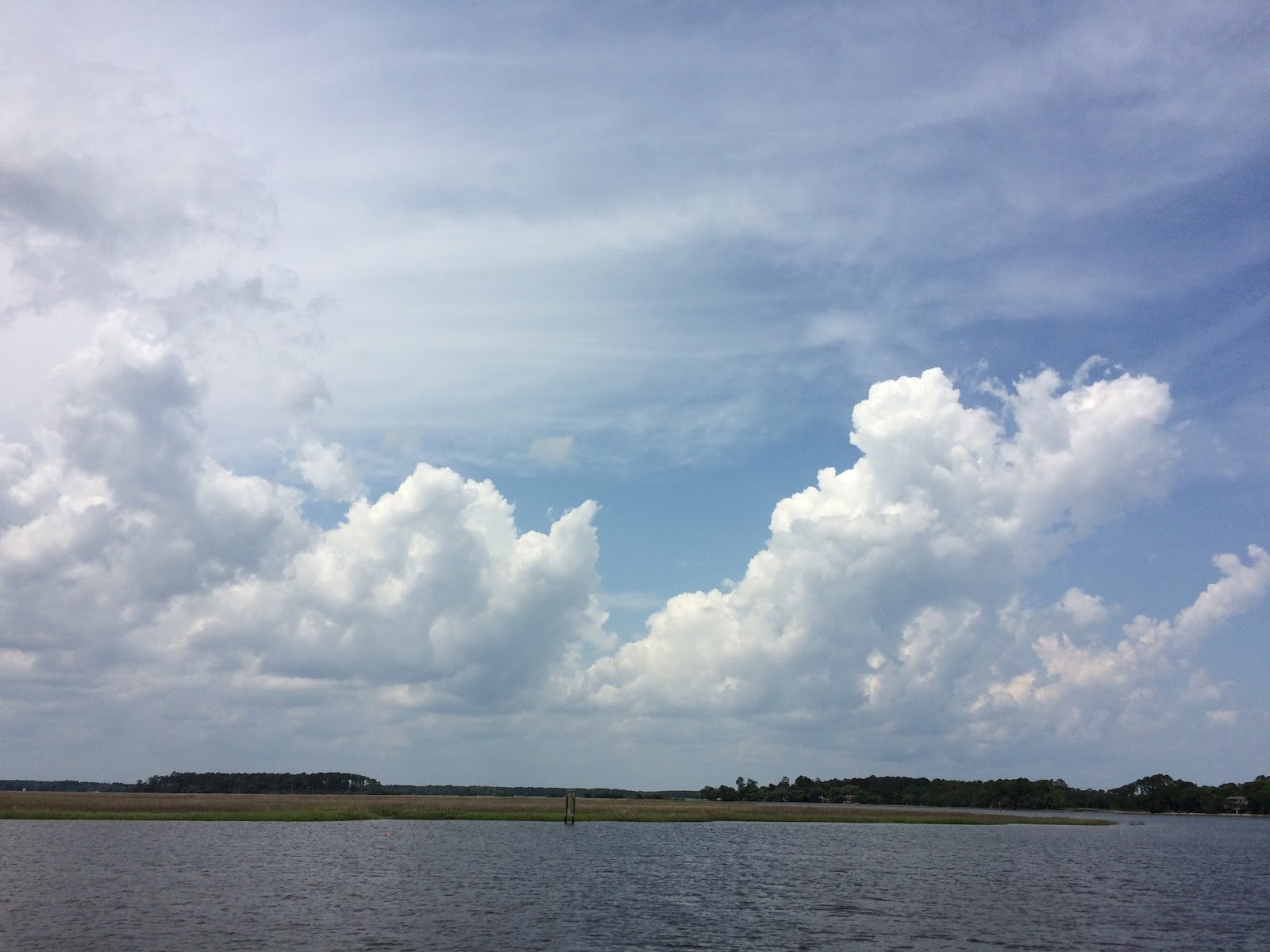
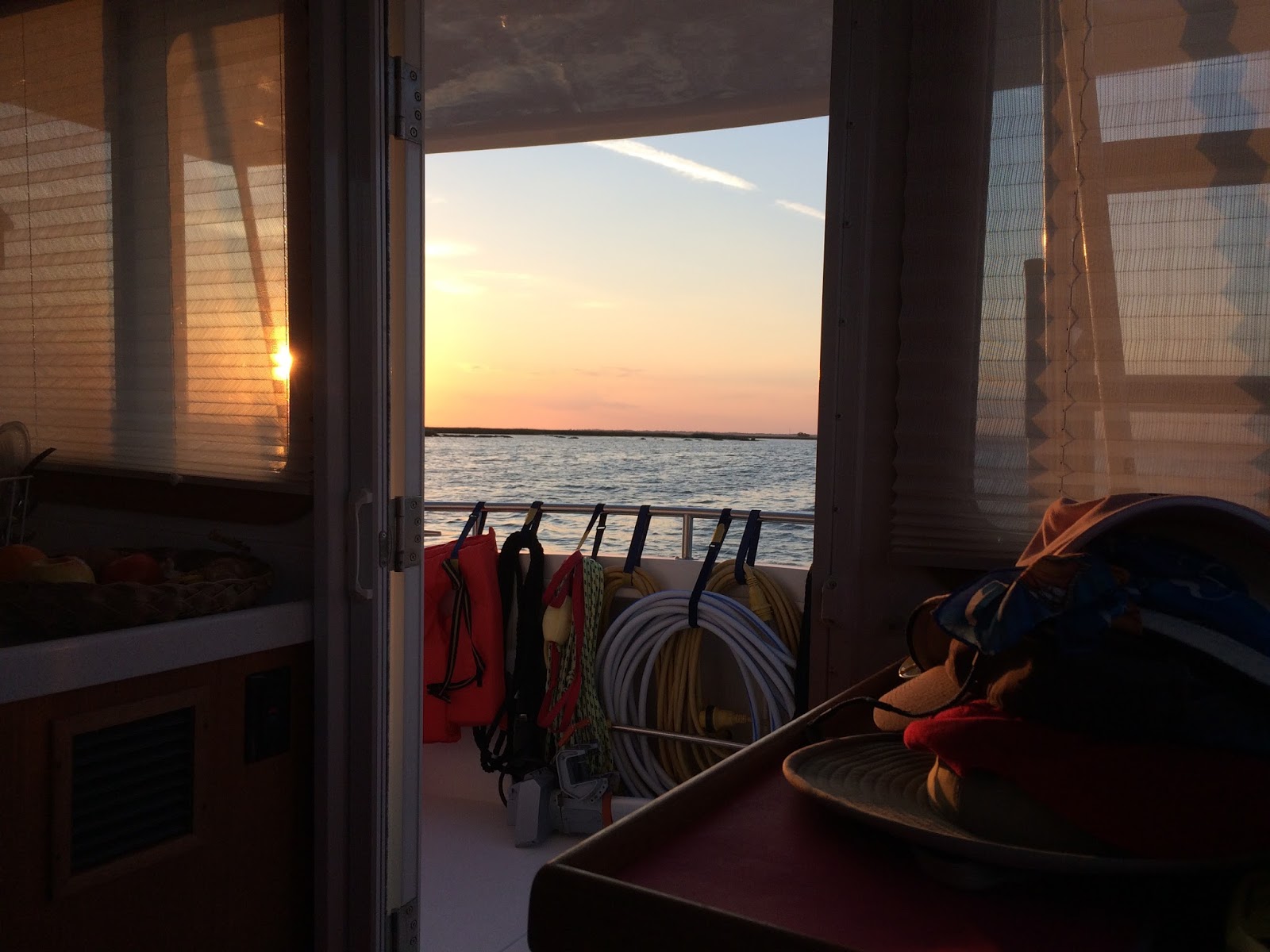
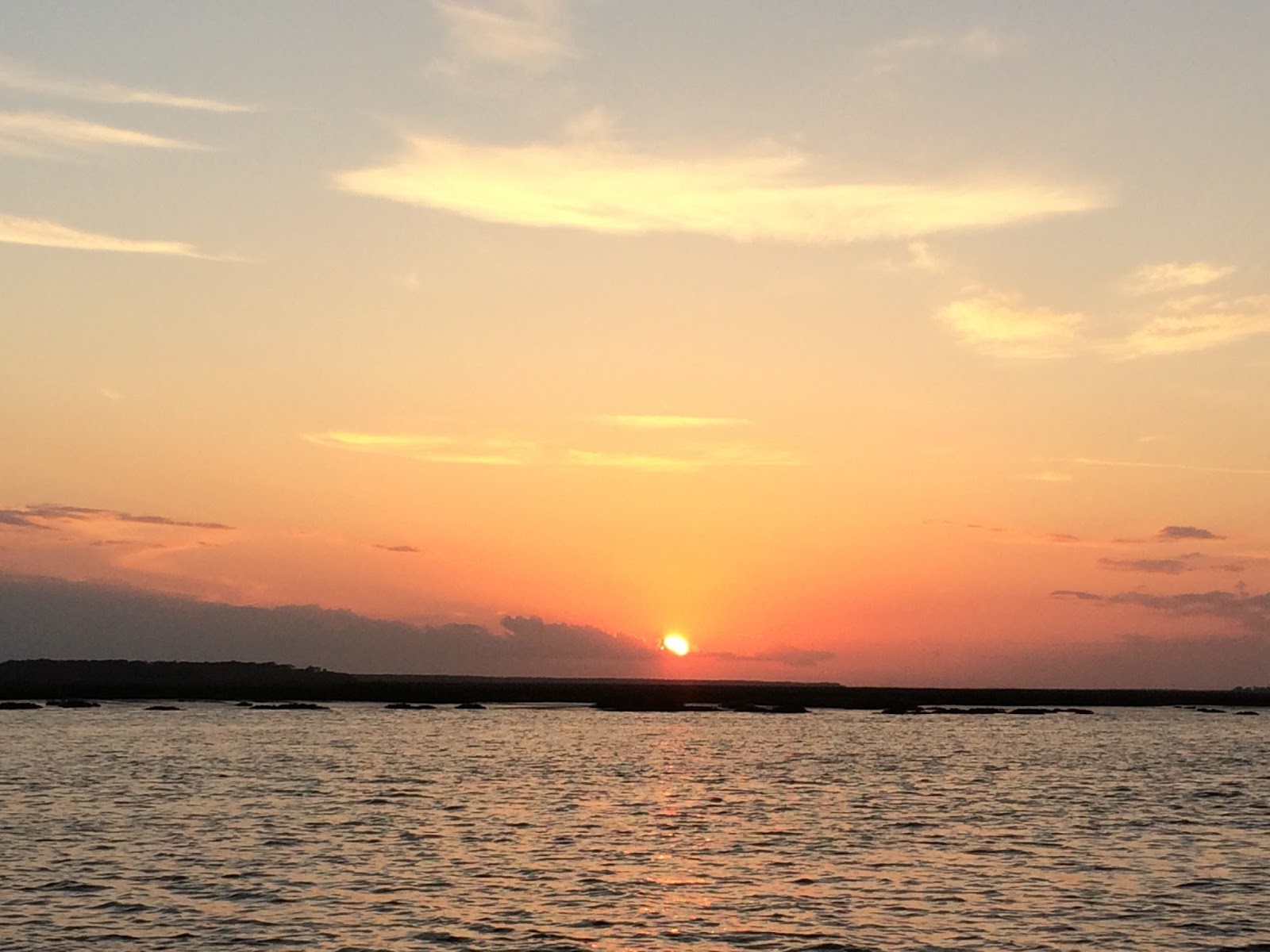
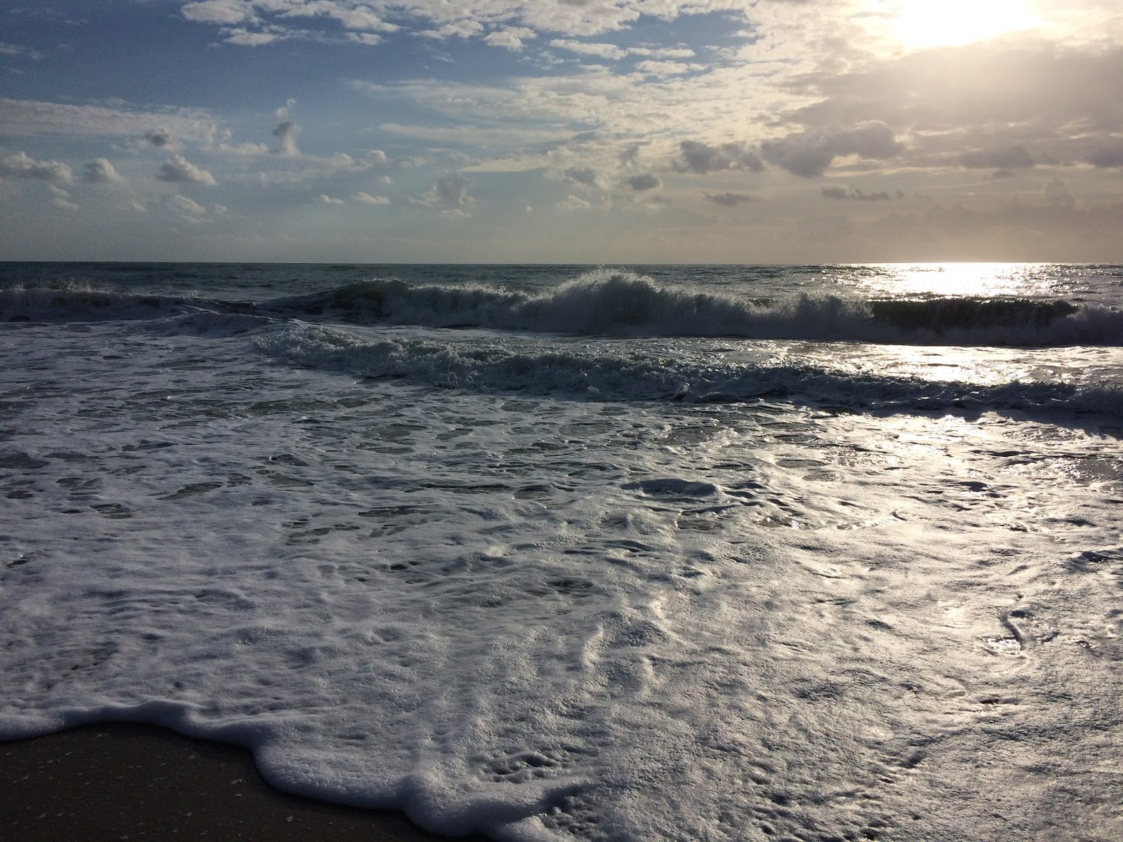
After that big rainstorm at our Palm Shores anchorage two nights ago, the weather has cleared and is cool and beautiful again. I am covered with tiny bites from no-see-ums that probably came through the open hatch between rain showers. I think it’s my reading light that draws them to me as much as anything. 


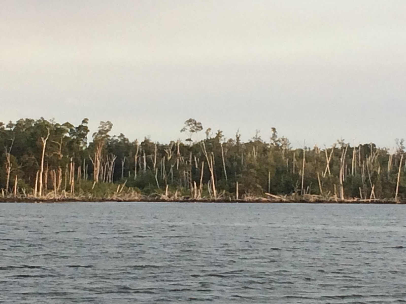
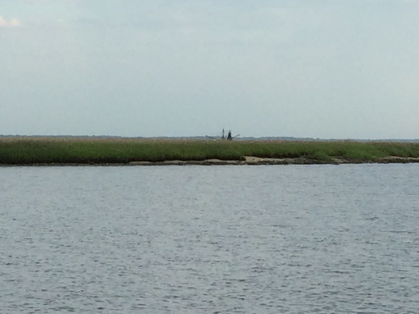
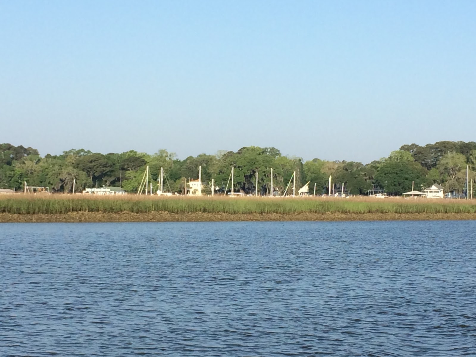
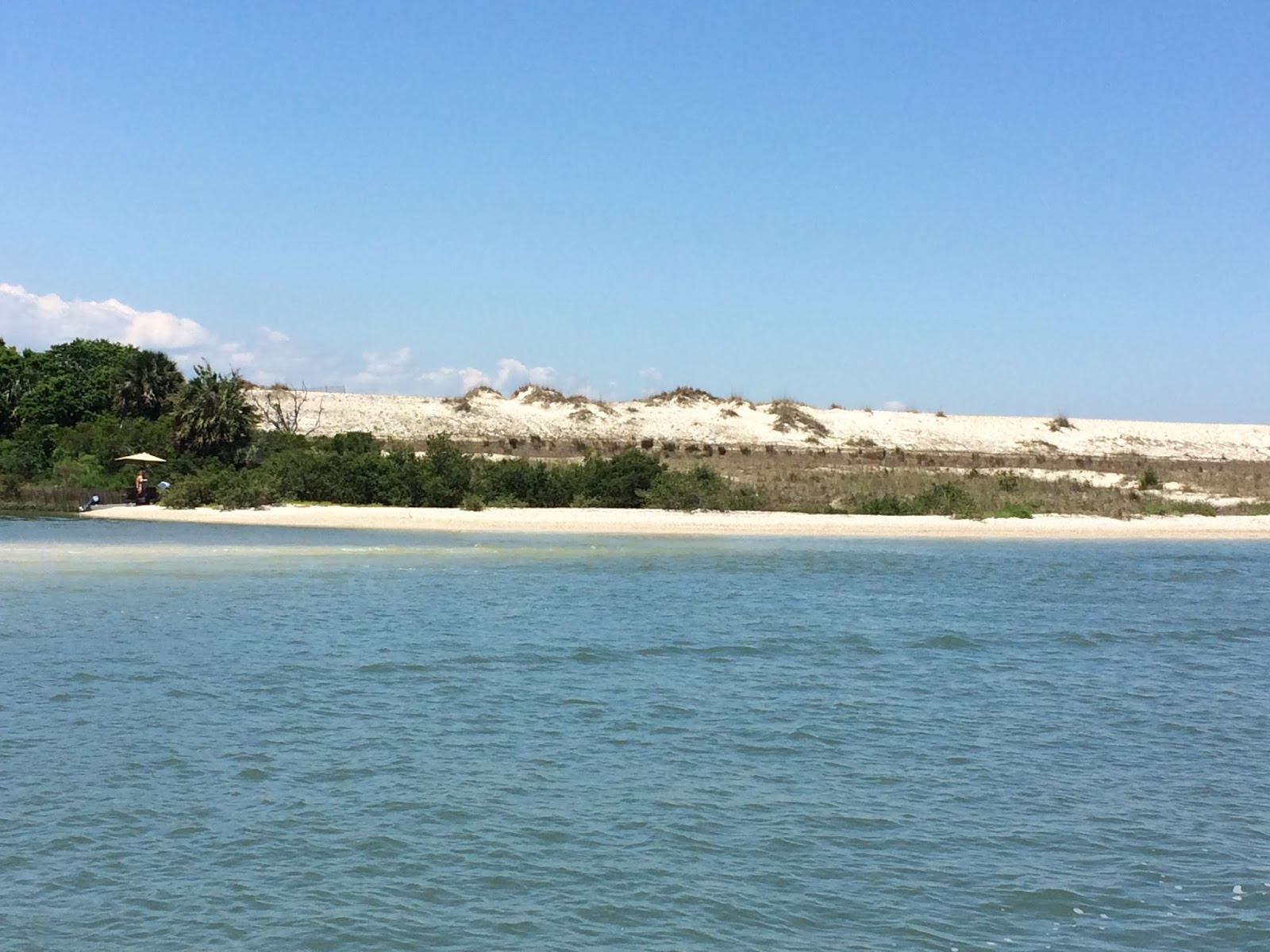
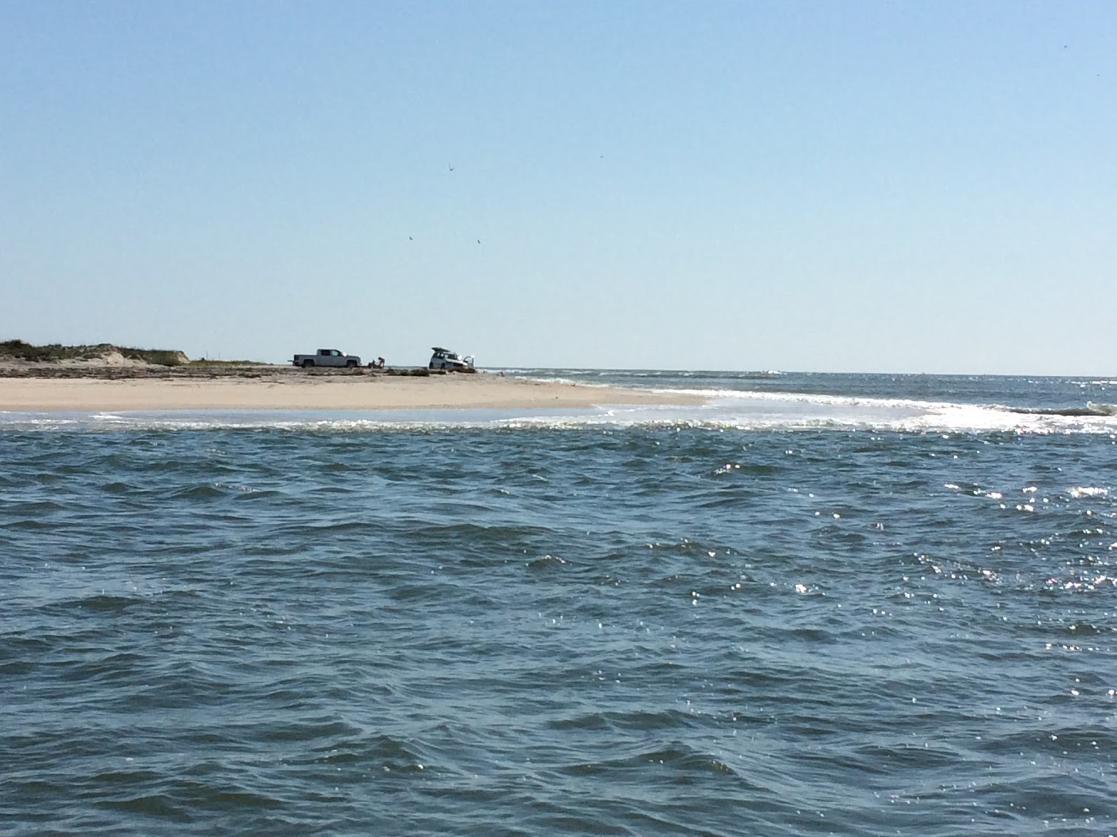
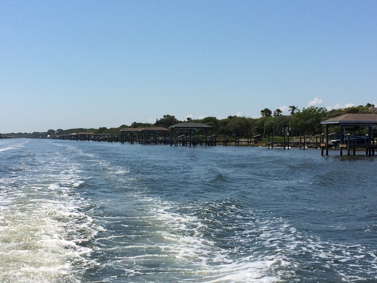
The ICW changes as we move northward. Sometimes the waterway is a natural body of water, wide and open and windy. Other times, it’s a straight man-made canal, wide enough for two boats to pass, but we often have to travel at no-wake speeds. Sometimes that is for erosion, sometimes for 
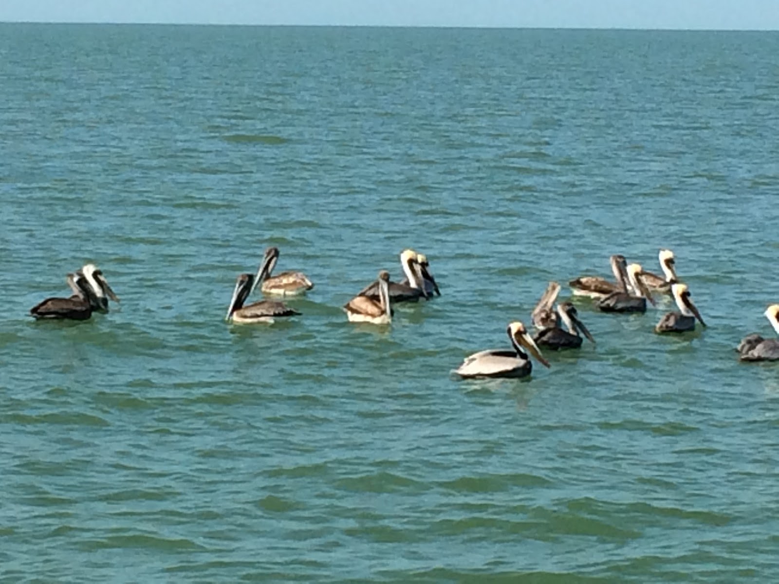
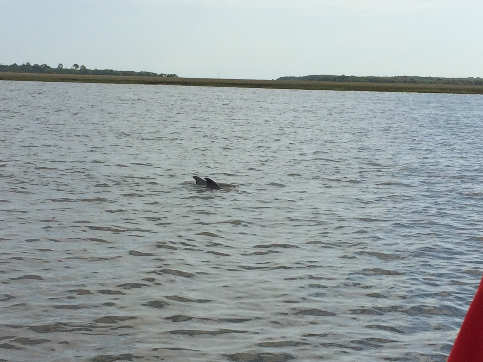
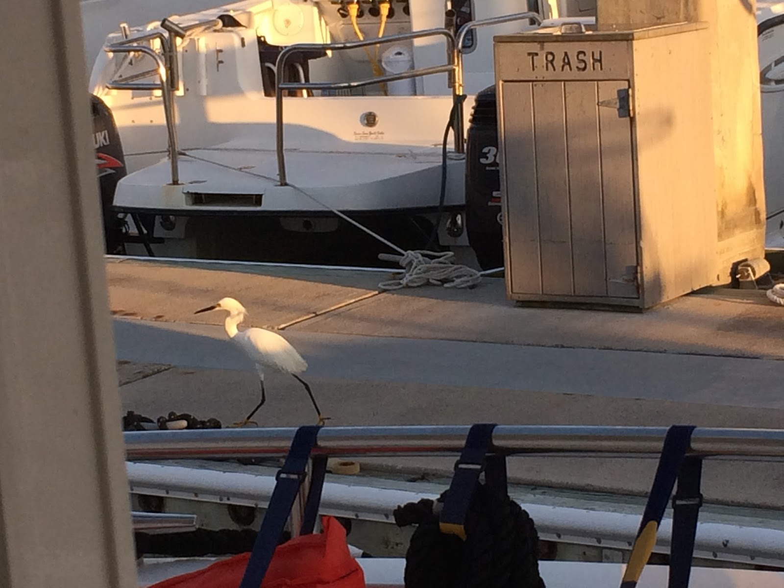
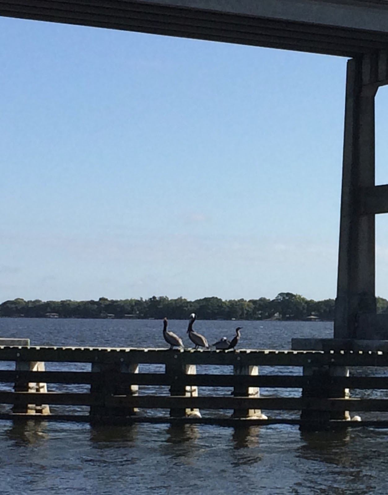
fishermen in boats, and sometimes for manatee areas. So far we have seen only the nose of one manatee.

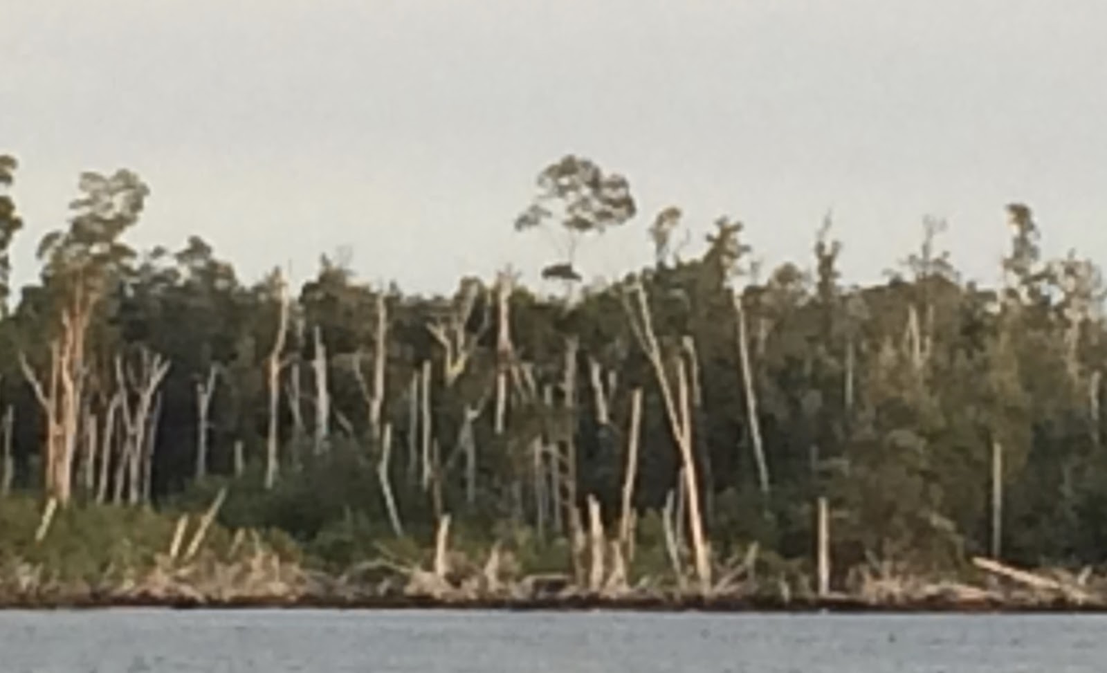
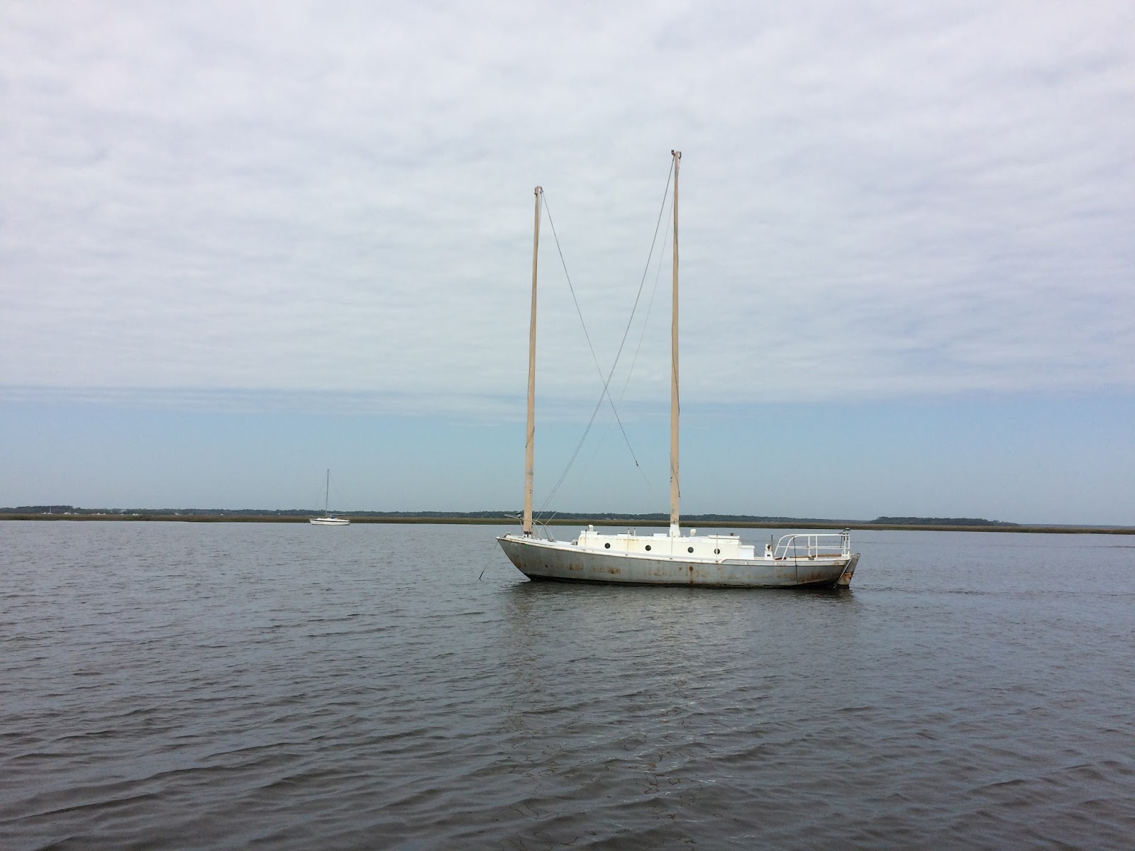
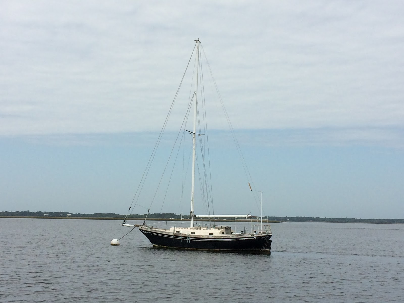
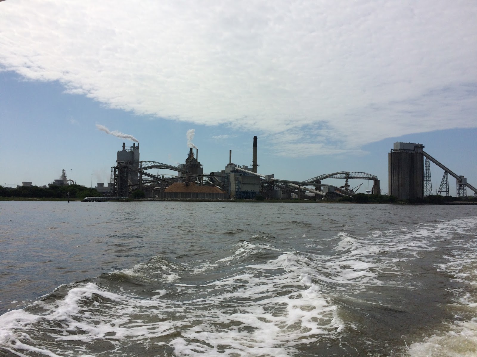
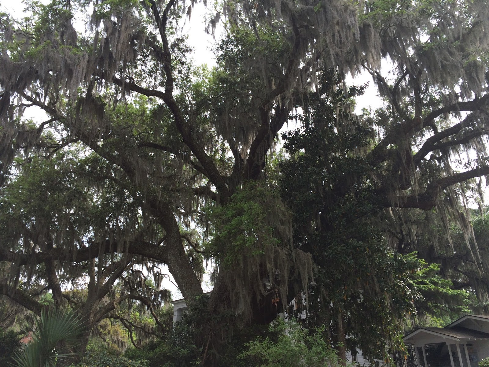
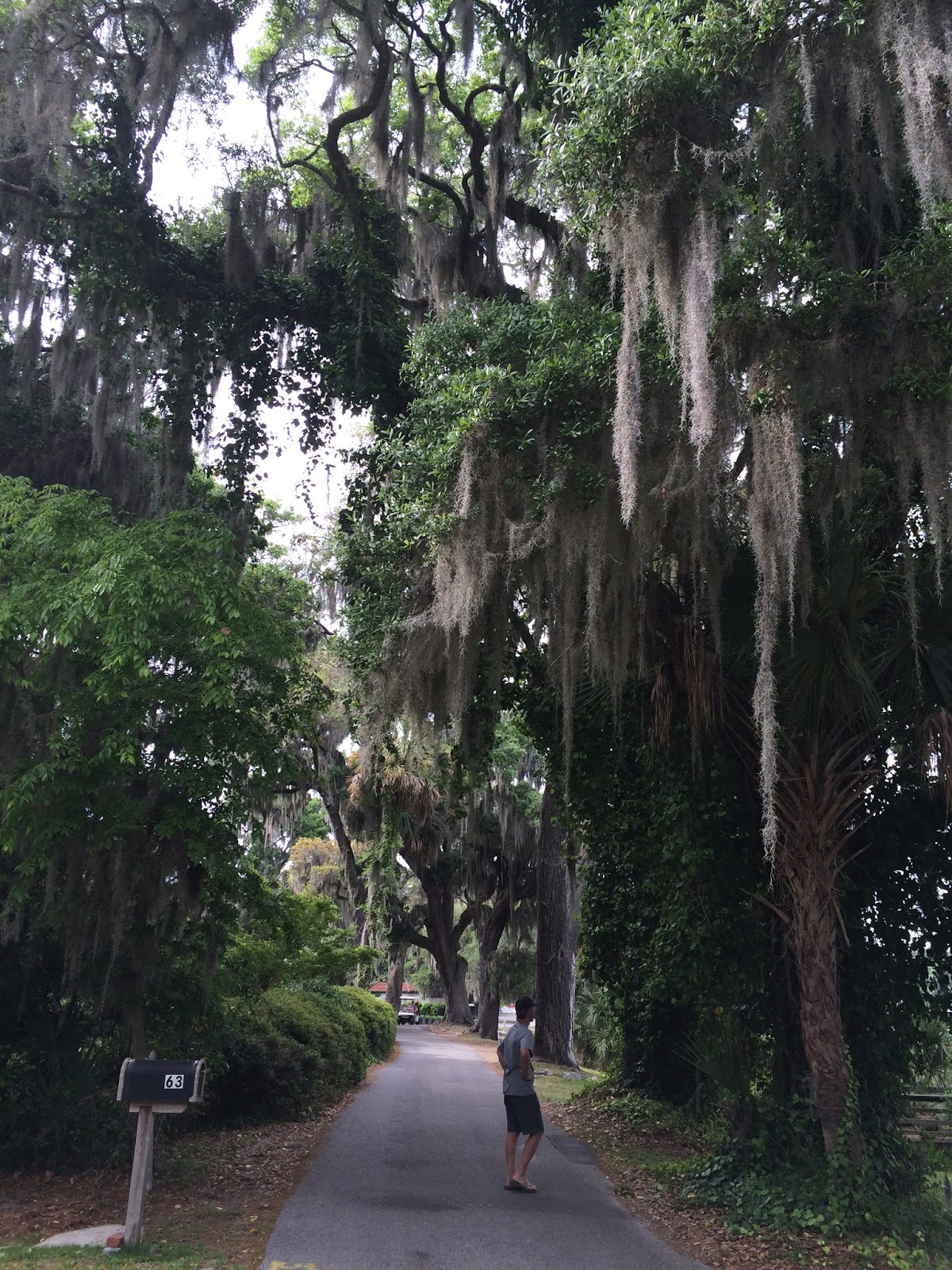
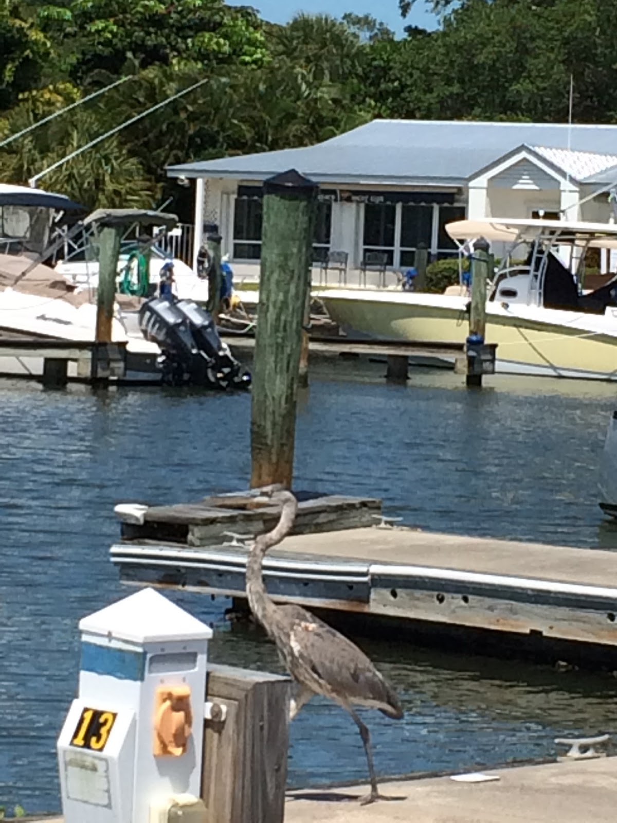
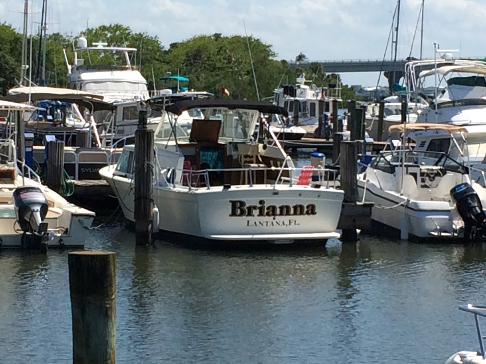
Along the ICW, there are towns with multi-million dollar homes and monster-sized boats, then there are places with small houses, medium houses, trailers or just open spaces. There are not as many palm trees here as there were in the south, but there are lots of medium-height trees and shrubs along the waterway and in people’s yards. Many of the shrubs are in bloom now and so pretty. You can tell when the landscaping was done a long time ago, when it’s new, when it was done by a professional or when it was done by ordinary people.

Along the way, we are using a guidebook called “On the Water Chartguides, CruiseGuide for the Intracoastal Waterway (ICW), A Mile-by-Mile Cruising Guide for Norfolk to Miami” by Captain Mark Doyle and Captain Diana Doyle. We definitely recommend it for anyone traveling the ICW, especially novices. It lists all the bridges, obstacles, shoaling areas, obstructions, marinas and anchorages on the ICW from mile marker 0 to mile marker 1098. In our case, we have to read the book from back to front since we are heading north. 

Saturday, April 23, 2016

Photos of the Florida ICW

We were visiting HIS dock!
Everyone needs her own boat
Old oaks with Spanish moss
Brian waiting for the local bus at Vero Beach
beside the Banyon tree 
Brian at Vero Beach in the morning
At Vero Beach, we walked on the beach and touched the ocean. 
We were there too!
Melbourne, Florida vs. Melbourne, Australia
Non-stop beautiful scenery
Pelicans and bridges
Boat docks to keep the boats out of the water and out of the wakes 
Waterfront for everyone at Palm Coast